3,000+species listedGPSmetre-level accuracy100%private and confidential
Features
Everything you need, nothing more.
01
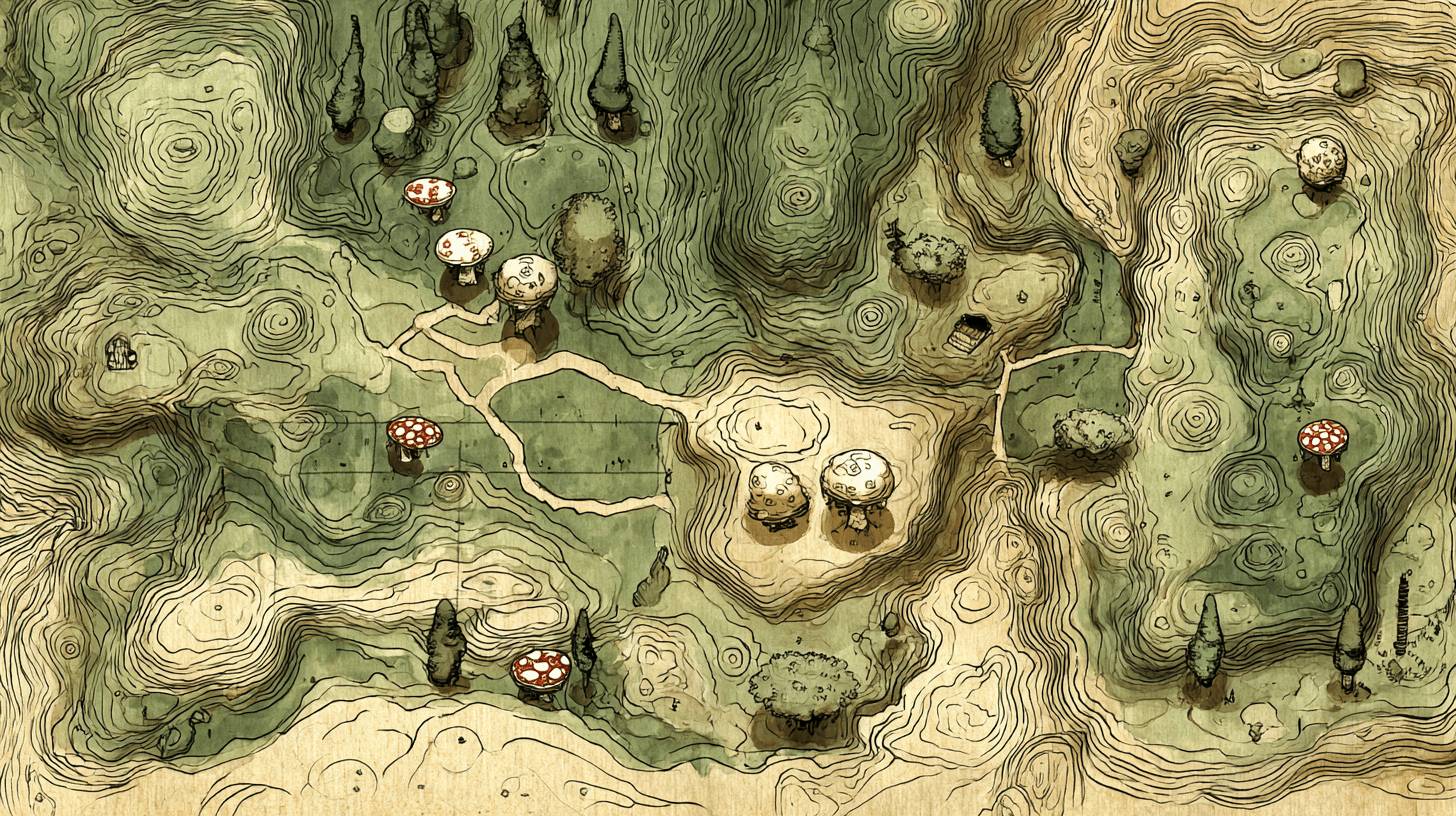
Your forays, on the map
Every trip to the woods becomes an entry in your notebook. GPS spots, species found, photos — everything is linked and easy to find on a map.
02
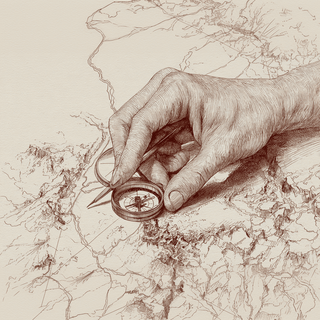
The route of your walks
Import the GPX file recorded with Strava, Komoot or your GPS watch. Your route appears on the map with your finds, the distance and the elevation gain.
03
Assisted identification
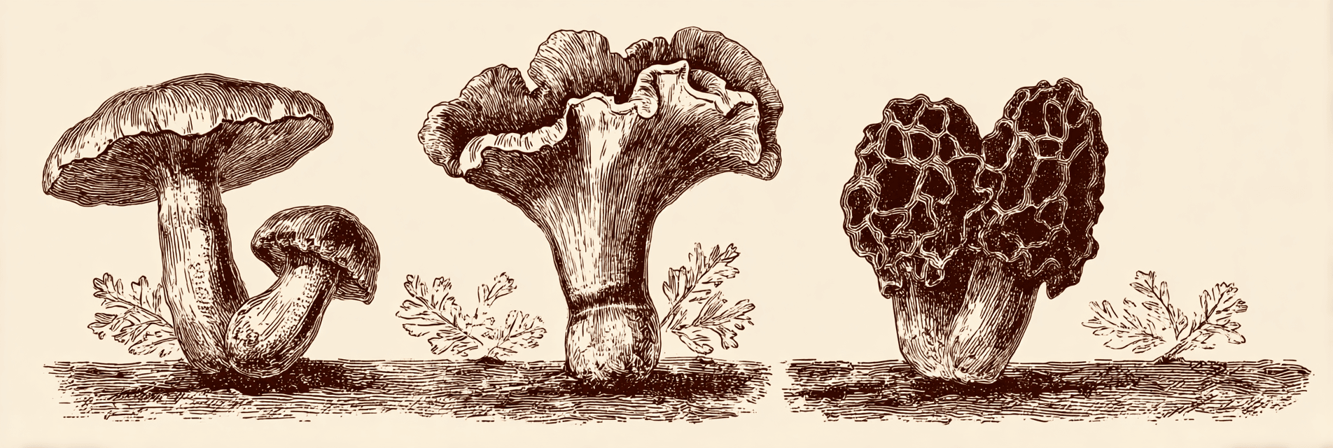
Over 3,000 species listed, with autocomplete. Type the first few letters and let the database do the rest.
04
Your spots stay secret
No social network, no public map: nothing is visible without your consent. And if you share a foray with a friend, the locations are deliberately blurred. Your cep patches stay your cep patches.
05
Works offline
Deep in the forest with no signal? No problem. Your data stays available offline and syncs when you are back.
Your ground
The forest on your screen, just as you know it.
Find every spot on an interactive map. Filter by season, by species, by place. Your forager’s memory, enhanced.